ASTRONOMY WEATHER FORECAST
www.weatherweb.net
This forecast is updated at 7am, 1pm and 7pm
Issued by Weather Consultancy Services on:
Sunday 16 August 2026 22:30 hrs
Support: help@weatherweb.net Print this page

|
|
ASTRONOMY WEATHER FORECAST www.weatherweb.net This forecast is updated at 7am, 1pm and 7pm
Issued by Weather Consultancy Services on: |
|

|
|
UK & Ireland Weather Summary for Sunday
|
Forecast for astronomy in for the next 5-days
Data based on GFS model updated: Sun 16 August 2026 22:30
|
||||||||||||
|
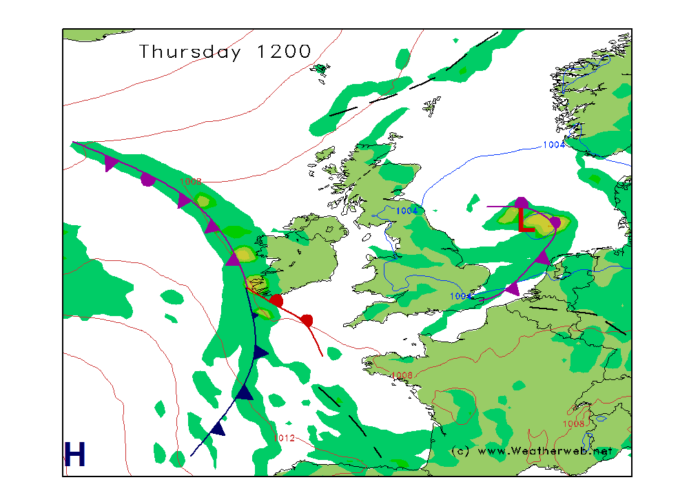
Planning outlook: Tuesday low pressure and a cold front will move south across England and Wales with high pressure north west of Scotland. A colder day as rain and snow spreads south. Mainly dry in the channel with sunny spells. Visibilities will be good in the channel but moderate to poor elsewhere in rain and snow. Wednesday a cell of high pressure is centered west of Ireland and will be ridging east. A cold, windy day with sunny spells and scattered showers of rain and snow. Visibilities will be good but moderate in rain showers, poor in snow showers. Thursday sees high pressure centred south of Ireland and this will give much of the country a dry, settled, day with sunny spells. Visibilities will be good. Friday a cold front spreads rain down across Scotland, the Irish Sea and northern England. Fair and dry in the south and in the channel with varying cloud and sunny spells. Visibilities will be good in the south and in the channel, but falling to moderate or locally poor as the rain sets in across the north. Saturday high pressure to the west of Britain is ridging into Scotland with a front into the far north west. Most areas will be fair and dry with sunny spells today after some patchy mist clears. Visibilities will be good but moderate at first. Sunday a front moves south east across Britain. Outbreaks of rain will clear western areas in the afternoon. Visibilities will be moderate improving to good as the front clears. |
| Synoptic charts based on data from 0001 GMT, Sunday 16 August 2026 (Updated daily by 9am) |
Tomorrow (Day 2) | Day after tomorrow (Day 3)  |
|
This forecast is for planning purposes only.
Forecast is copyright Weather Consultancy Services. |