AVIATION WEATHER INFORMATION SERVICE
www.weatherweb.net
CHANNEL ISLANDS
This forecast is updated at 7am, 1pm and 7pm
Issued by Weather Consultancy Services on:
Saturday 20 April 2024 03:00 hrs
Support: help@weatherweb.net Print this page

|
|
AVIATION WEATHER INFORMATION SERVICE www.weatherweb.net CHANNEL ISLANDS This forecast is updated at 7am, 1pm and 7pm
Issued by Weather Consultancy Services on: |
|
|
UK & Ireland Flying Summary for Saturday
|
|
Forecast for flying over the English Channel on Saturday
Channel from Scilly to IoW dry fine start with sunshine through the morning and well scattered cloud developing, visibility good waves and swell low, onshore S to variable 1/2. East of IoW low cloud will increase throug the day viz becoming locally poor where sea fog and coastal cloud persist offshore N to NE 3/4 |
||||||||||||||||||||||||||||||||||||||||||||||||||||||||||||||||||||||||||||||||||||||||||||||||||||||||||||||||||||||||||||||||||||||||||||||||||||||||||||||||
|
Forecast from GFS model for flying in the Channel Islands: Data based on GFS model updated: Sat 20 April 2024 03:00
|
||||||||||||||||||||||||||||||||||||||||||||||||||||||||||||||||||||||||||||||||||||||||||||||||||||||||||||||||||||||||||||||||||||||||||||||||||||||||||||||||
|
Planning outlook for the English Channel: Presure rising generally across the UK though the centre is slow moving across N.Ireland to SW Scotland with a slack pressure field across SW England and into midlands. Eastern Scotland and Esatern England on the eastern flank of the anticyclone remain in a fresh NE flow bring low cloud mist/fog onto coasts and headlands with waves moderate to high particarly Huber to Thames, and around Thanet coast into Channel as winds turn anticyclonically. Waes and swell decreasing around western coasts and mostly along Channel to IoW. Saturday 20 AprilOvernight ground and air frost for Scotland and northern England will clear by mid-morning to give a dry sunny start for all temperatures 2C generally 5 to 7C mid-morning. Continuing dry and sunny for all duirng the remainder of the morning and continuing into the afternoon. Becoming rather cloudy late morning and into the afternoon across NW Scotland and Yorkshire through to Kent and Sussex with some coastal mist and fog along North Sea coasts.Cool fo r all temperatures 6 to 8C where cloud persists along coasts, 10-12C elsewhwere briefly 14C Somerset to Dorset. Winds generally light though fresher along North Sea coasts with windchill. Sunday 21 AprilRemaining dry for all though a rather cloudy start across Scotland, NW and NE England ith persistent cloud cover for a time into the mid-morning, temperature 2 to 4C generally, to 5 to 7C mid-morning with increasing sunshine where cloud becomes broken. Staying dry though generally cloudy during the afternoon though sunshine remaining through the afternoon across Scotland and Northern England. Cloud breaking across Midlands E and S England late afternoon and into the evening temperatures 9 to 11 late afternoon, quickly fally to 3 to 5C mid evening. Patch ground and air frost returning overnight. Monday 22 April Remaing cool, dry with sunshine for most, ground and patchy air frost at first from Dorset through midlands to E. Anglia 1 to 3 to start. Elsewhere a cloudy though dry start. Becoming increasing cloudy during the morning for all with outbreask of rain during the later morning and into the afternoon across NW England, Wales and NE England though rain moving southeast will become patchy moving southwards. Tuesday 23/04/2024 Dry with sunshine for Scotland and variable cloud, patchy ground and air frost at first clearing mid-morning, temperatures 6 to 8C generally briefly 10 to 12C for western locations Argyll through to Dumfries. Dry generally for reaminder of Wales and England though with variable cloud temperatures 6 to 8C generally especially where cloud persists, briefly 9 to 11C with afternoon sunshine Wiltshire to Dorset, Hampshire to Northamptonshire. Wednesday 24/04/2024 Ground and patchy air frost with clear skies to start across central Scotland, midlands to SE England and alsong Welsh boarders clearing mid-morning. Eslewhere variable and broken cloud with sunshine for most 4 to 6C. Sunshine for Scotland temperatures 7 to 9C generally though 12 to 14C for central locations during the afternoon, elsewhere for Wales and England 12C during the afternoon, though with scattered showers likely. Thursday 25/04/2024 Sunshine and scattered showers across Scotland, remaining cool and becoming windy during the day, showers most frequent across Western Isles to Fife especially through the afternoon temperatures 7C. Generally cloudy across south Wales midlands to eastern England with showers becoming frequent and often heavy tempeatures 9 to 11C midlands, cooler along southern Channel coasts with a freshening Easterly wind. Friday 26/04/2024 Remaining cool for all with variable to persistent cloud, showers scattered at first durring the morning becoming generally widespread through the afternoon being prolonged and heavy, temperatures briefly 10 to 12C across midlands, 8 to 10C generally. Saturday 27/04/2024 Remaining cool with and mix of sunshine and showers, showers becoming widespread prolonged and often heavy midland and southern England. |
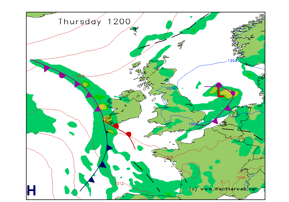
| Synoptic charts based on data from 0001 GMT, Friday 19 April 2024 (Updated daily by 9am) |
Tomorrow (Day 2) | Day after tomorrow (Day 3)  |
|
This forecast is for planning purposes only. You must check the latest forecasts from official sources before flying. Forns 214/215, METARs and TAFs should be obtained as a minimum for flight.
Forecast is copyright Weather Consultancy Services. |